Smart Solar Software
Above’s aerial data and software solutions are revolutionising solar plant inspection and condition management processes in the solar sector.
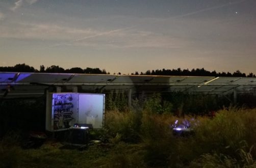
Drone-powered Solar Solutions
Trusted by


Testimonials

“Above have been inspecting our portfolio for the past 4 years and the build-up of historic health data is proving hugely valuable for us. Toucan has always recognised the potential in historic data to help predict the future, and with Above and its digital platform, we are building insights not possible through any other means”

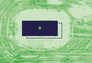
“Above’s aerial topographic surveying solution provides greentech with precise and detailed terrain and shading data through the use of high-resolution aerial photogrammetry. Above’s solution allows us to understand, at a very granular level, the ground surface as well as height of important site features such as trees and hedges. It means our engineering team are working with a deep and detailed understanding of the site enabling them to generate optimized solar plant designs and highly accurate yield forecasts.”
Newsroom
Partnered with

Members of